1+ (210) 566 1857

  • FLIR

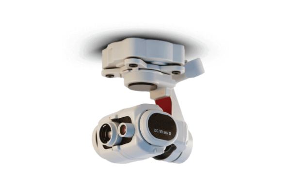
    FLIR EO/IR Mk II Multi-Sensor Imaging Payload for SkyRanger

    Multi-sensor EO/IR payload with HD daylight and thermal imagery, object tracking, and multiple color palettes for SkyRanger UAS missions.

    Add to Quote
    Facebook
    Twitter
    LinkedIn
    Pinterest

    Description

    EO IR Mk II

    Imaging Payload

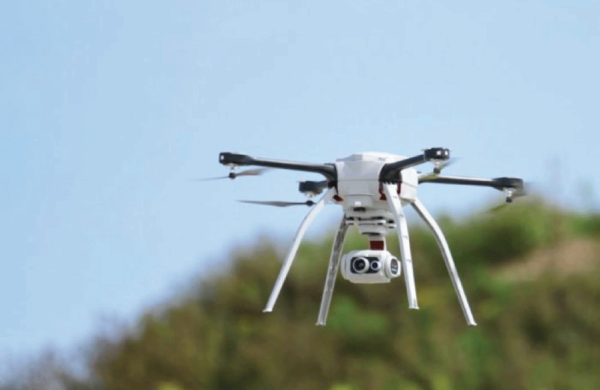
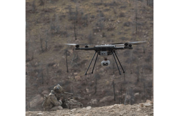
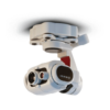
    The FLIR EO/IR Mk II is a next-generation multi-sensor imaging payload designed for the SkyRanger sUAS platform, supporting a wide range of aerial surveillance, infrastructure inspection, and emergency response missions. This advanced payload combines high-definition electro-optical (EO) and enhanced infrared (IR) imaging in a compact, rugged form factor built for real-world operations.

    Engineered with a weather-resistant, 3-axis stabilized gimbal, the EO/IR Mk II provides smooth, clear imagery even in dynamic flight conditions. Operators gain real-time situational awareness with HD daylight video and thermal imagery in multiple color palettes, including white-hot, black-hot, rainbow, and ironbow—ideal for locating heat signatures, assessing damage, or tracking movement in low-visibility environments.

    Optional onboard image processing enables automated identification and tracking of moving objects, and can lock onto fixed targets while the aircraft maneuvers—providing persistent surveillance or inspection capabilities with minimal operator input.

    Features

    • Passive and active mechnanical stabilization, as well as digital image stabilization

    • Rugged, environmentally tolerant design tested to IP-53 standards, enabling all-weather operation

    • Enhanced thermal IR imagery in a range or color palletes – white-hot, black-hot, rainbow, and ironbow

    • 1080p video streamed securely to the plot, and to remote personnel anywhere in the world through FLIR

    Simultaneous EO and IR Video Streams

    View targets in daylight and thermal imagery from the ground control station or remote screens.


    Gis-Ready Imagery

    Embedded geotags and STANAG 4609 compliant metadata enable precise geolocation and use of industry standard tools for post-processing into stitched images, map overlays, 3D models, and more.


    Onboard Vector Video Processing

    Vector video analytics delivers digital image stabilization, adaptive target tracking, moving target indication, and calculation of target heading and speed in EO & IR


    Specifications

    Camera Specifications

    Image Capture
    Stills
    13 megapixels
    File Format
    JPEG
    Video
    Resolution
    1080p60 H.264 HD recorded
    HD streamed to Mission Control Station (MCS)
    STANAG 4609 metadata
    Field of View
    58°
    45°
    32°
    Image Capture
    Stills
    640×512
    Color Palettes
    White-hot, Black-hot, Rainbow, Ironbow
    Weight
    20 oz (575 g)
    Opertating Temperature
    -22 to 122°F (-30 to 50°C)
    Digital Enhancements
    ACE3, DDE4, Isotherms, IBHEQ5
    Removeable Memory
    SD card onboard aircraft

    Gimbal Specifications

    Range of Motion
    Roll
    +/- 20 degrees
    Pitch
    +/- 60 degrees
    Yaw
    +/- 20 degrees

    Applications

    • Buildings, roofs & support structures

    • Cellphone and radio towers

    • Flarestacks

    • Power lines and towers

    • Pipelines

    Resources

    Media

    Aeryon Vector & SR-EO/IR Mk II Overview

    CONTACT US