No products in the cart.

    Categories:

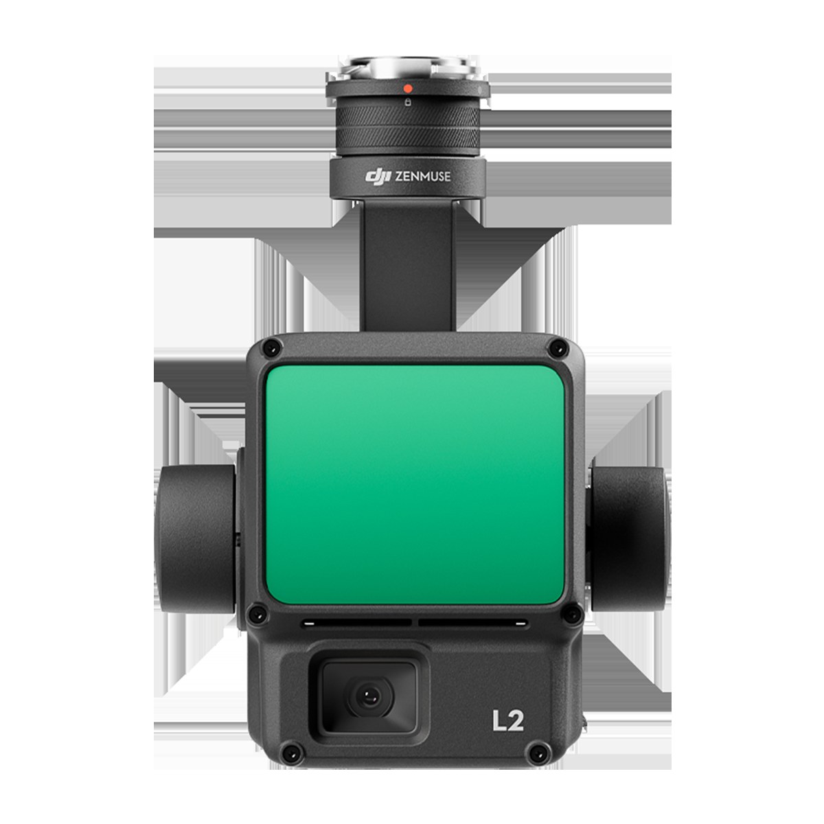
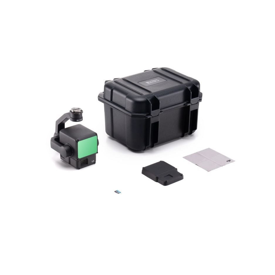
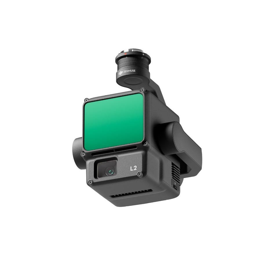
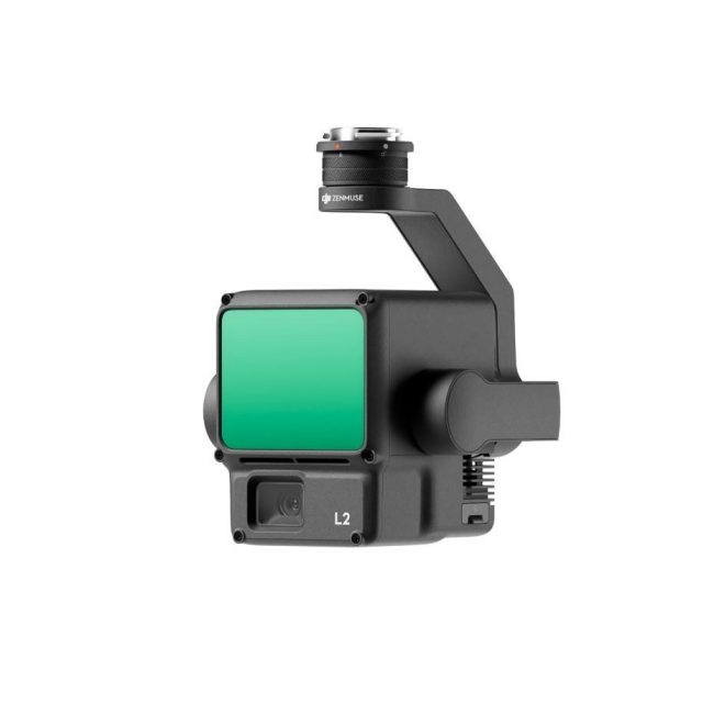
    DJI Zenmuse L2

    $0.00

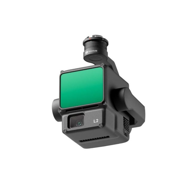
    The DJI Zenmuse L2 is an integrated LiDAR and RGB camera payload for drone-based 3D terrain mapping and wildland fuel assessment.

    In stock

    or
    Add to Quote

    DJI Zenmuse L2 integrates frame LiDAR, a self-developed high-accuracy IMU system, and a 4/3 CMOS RGB mapping camera. It provides 4cm vertical and 5cm horizontal accuracy, supports 5 returns with 240,000 pts/s effective point cloud rate, and features a 20MP camera with mechanical shutter. The system can scan up to 2.5km² in a single flight with detection range up to 450 meters at 50% reflectivity. Compatible with DJI Matrice 350 RTK and DJI Terra for turnkey 3D data collection and processing. Applications include land surveying, mapping, forestry, power line inspection, and infrastructure management.

    Description

    DJI Zenmuse L2

    DJI Zenmuse L2 integrates frame LiDAR, a self-developed high-accuracy IMU system, and a 4/3 CMOS RGB mapping camera. It provides 4cm vertical and 5cm horizontal accuracy, supports 5 returns with 240,000 pts/s effective point cloud rate, and features a 20MP camera with mechanical shutter. The system can scan up to 2.5km² in a single flight with detection range up to 450 meters at 50% reflectivity. Compatible with DJI Matrice 350 RTK and DJI Terra for turnkey 3D data collection and processing. Applications include land surveying, mapping, forestry, power line inspection, and infrastructure management.

    Features

    • Frame-based LiDAR with 30% detection range increase

    • Detects up to 450 meters at 50% reflectivity and 0 klx

    • Supports 5 returns for dense vegetation penetration

    • Effective point cloud rate of 240,000 points per second

    • Two scanning modes: repetitive and non-repetitive

    • High-accuracy self-developed IMU system

    • No IMU warm-up required

    • 4/3 CMOS RGB mapping camera with 20MP effective pixels

    • 3.3 μm pixel size

    • Mechanical shutter with 200,000 shutter count

    • Minimum photo interval of 0.7 seconds

    • Point cloud LiveView capability

    • Point cloud model playback and merging

    • Auto-generated task quality reports via DJI Terra

    • PPK solution support

    • One-click processing on DJI Terra

    • Typical operational altitude up to 120 meters

    • Laser spot size of 4×12 cm @100m
    You May Also Like

    CONTACT US