




- Sensor size (Max video recording area)
- 34×19 mm
- Angular Vibration Range
- ±0.01°
- IP Rating
- IP4X
- Weight
- Approx. 800 g
- Dimensions
- 198×166×129 mm
Overview
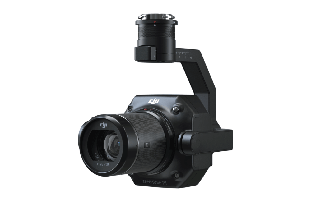
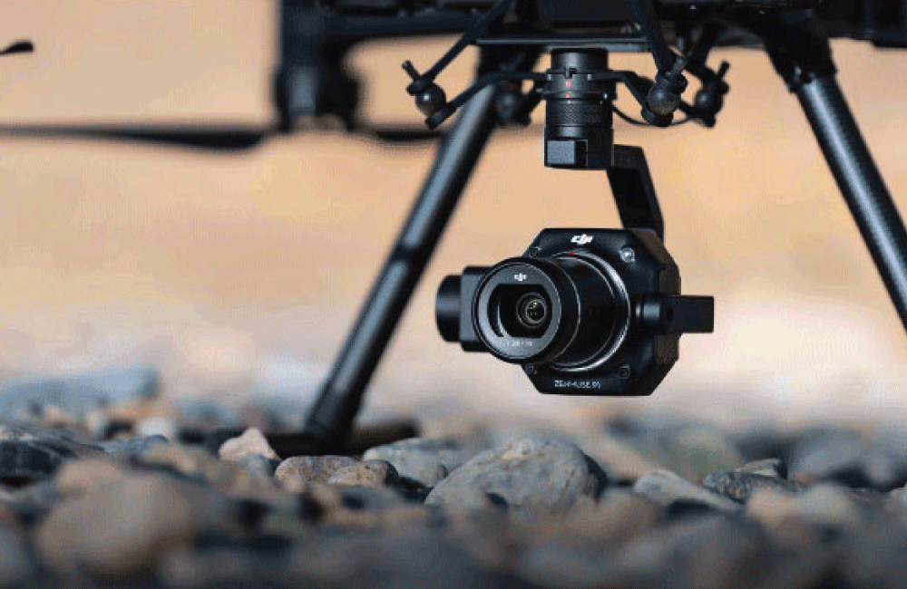
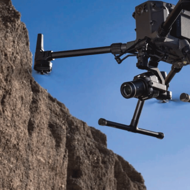
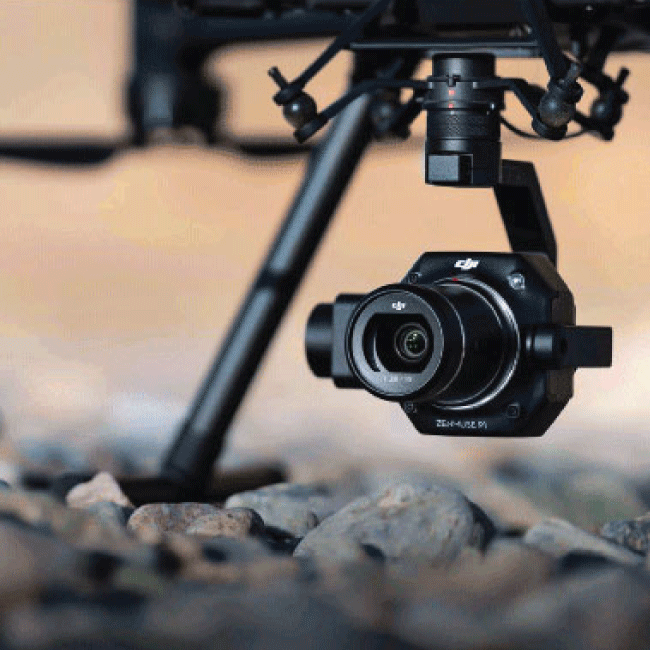
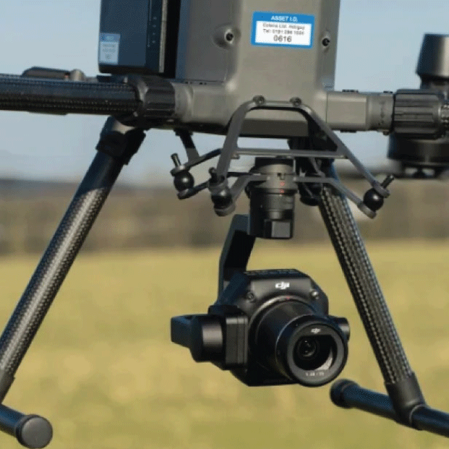
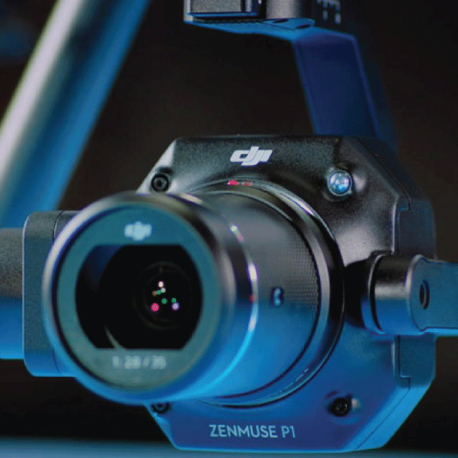
The Zenmuse P1 is DJI’s flagship full-frame photogrammetry camera, purpose-built for the Matrice 300 RTK platform.
With 45MP resolution, it delivers fast, accurate data capture suited to mapping, surveying, and aerial documentation missions across public safety and industrial use cases.
- Full-frame sensor, 45MP resolution
- Built for the DJI Matrice 300 RTK
- Designed for photogrammetry data capture
Contact FarrWest for a quote.
- Accuracy without GCPs 3 cm horizontally / 5 cm vertically
- High Efficiency 3 km2 covered in a single flight
- 45 MP Full-frame Sensor
- 3-axis Stabilized Gimbal Smart Oblique Capture
- TimeSync 2.0 - synchronization at the microsecond leve
Specifications
| Performance | |
| Operating Temperature Range | -20° to 50° C (-4° to 122° F) |
| Storage Temperature Range | -20° to 60° C (-4° to 140° F) |
| Absolute Accuracy: Horizontal | Horizontal 3 cm Vertical 5 cm |
| Angular Vibration Range | ±0.01° |
| Aperature Range | f/2.8-f/16 |
| ISO Range | Photo 100-25600 Video 100-2560 |
| Power | |
| Power | 20W |
| Physical | |
| Dimensions | 198×166×129 mm |
| Weight | Approx. 800 g |
| Mount | Detachable DJI SKYPORT |
| Sensor size (still) | 35.9×24 mm (Full frame) |
| Sensor size (Max video recording area) | 34×19 mm |
| Pixel Size | 4.4 μm |
| Photo Size | 3:2 (8192×5460) |
| Approvals & Warranty | |
| IP Rating | IP4X |
| Other | |
| Product Name | ZENMUSE P1 |
| Supported Aircraft | Matrice 300 RTK |
| Horizontal | 3 cm |
| Vertical | 5 cm |
| Video Format | MP4 |
| Frame Rate | 60 fps |
| Stabilized System | 3-axis (tilt, roll, pan) |
| Effective Pixels | 45MP |
| Supported Lenses | DJI DL 24mm F2.8 LS ASPH |
| Supported SD Cards | SD: UHS-I rating or above; Max capacity: 512 GB |
| Storage Files | Photo / GNSS Raw Observation Data/ Image Log File |
| Operation Modes | Photo, Video, Playback |
| Minimum photo interval | 0.7s |
| Shutter Speed | Mechanical Shutter Speed Electronic Shutter Speed |
| Photo | 100-25600 |
| Video | 100-2560 |
Media
DJI Enterprise Zenmuse P1 – Full-Frame Photogrammetry Solution
DJI Zenmuse P1 Mapping and Surveying Workflow – Construction Site Case
Study
Description
DJI
The DJI Zenmuse P1 redefines efficiency and precision in aerial surveying and mapping. Purpose-built for photogrammetry missions, the P1 combines a 45MP full-frame sensor, interchangeable fixed-focus lenses (24/35/50mm), and a 3-axis stabilized gimbal, all optimized for integration with the DJI Matrice 300 RTK./p>
Engineered for professional surveying, the P1 captures ultra-high-resolution imagery with low noise and high sensitivity, enabling rapid data collection with photos every 0.7 seconds. Thanks to the global mechanical shutter and DJI’s TimeSync 2.0 system, every image is precisely time-stamped and aligned with positional data for centimeter-level accuracy.
With Smart Oblique Capture, the P1 intelligently rotates its gimbal to capture angled shots automatically, significantly reducing post-processing time by 20–50% and improving 2D and 3D model fidelity. This allows coverage of up to 7.5 km² in a single workday, making it ideal for large-scale construction, energy, infrastructure, and emergency response applications. Whether you’re building highly detailed 3D models or conducting topographic surveys, the Zenmuse P1 streamlines data acquisition while reducing flight time and operational risk. Pair it with DJI Terra for an end-to-end geospatial solution.