-
Simulates single or multiple threats including radioactivity, TICs/TIMs, and CWA
-
Real-time chemical or radiation plume variation with wind effects and decay modeling
-
Simulates hot spots, static emissions, radiological dispersion devices, and water barriers
-
Supports tabletop and field exercises up to 2,500 square km
-
Multiple survey teams and simulators capability
-
GIS mapping and custom map support for sensitive missions
-
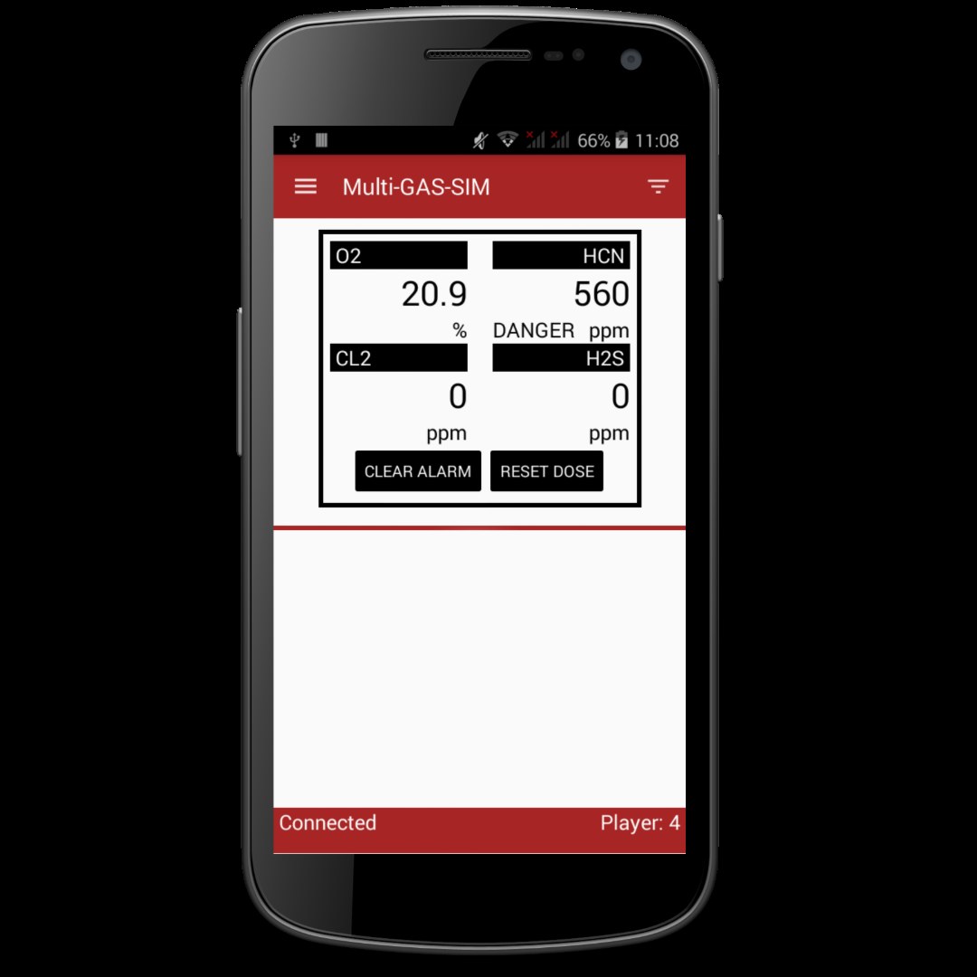
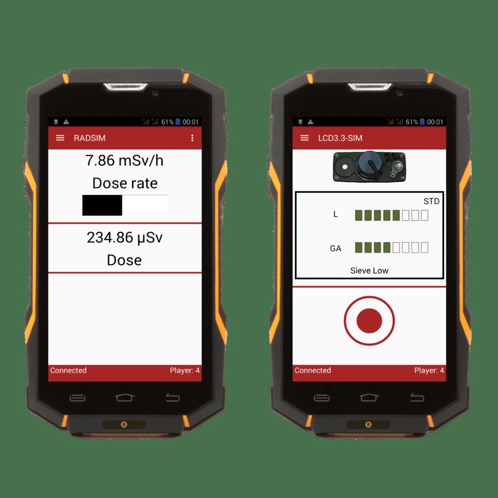
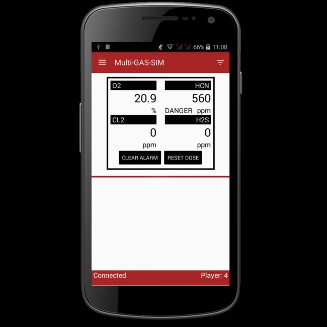
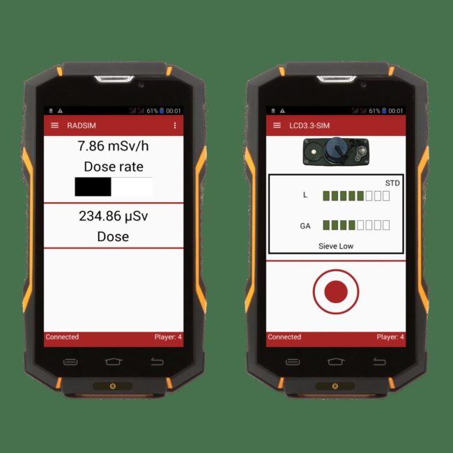
Wide variety of simulated detection instruments
-
Virtual gamepad navigation with simulated readings based on location and threat
-
Instructor-selectable student views of meteorological conditions and plume dispersion
-
Real-time GPS tracking and movement monitoring
-
GPRS cellular radio link for large area operation
-
Integration with standard warning and reporting software
-
Powerful After Action Review with breadcrumb trail analysis
-
Exercise recording and reporting capabilities
-
Subscription-based model with pay-as-you-go options