Overview
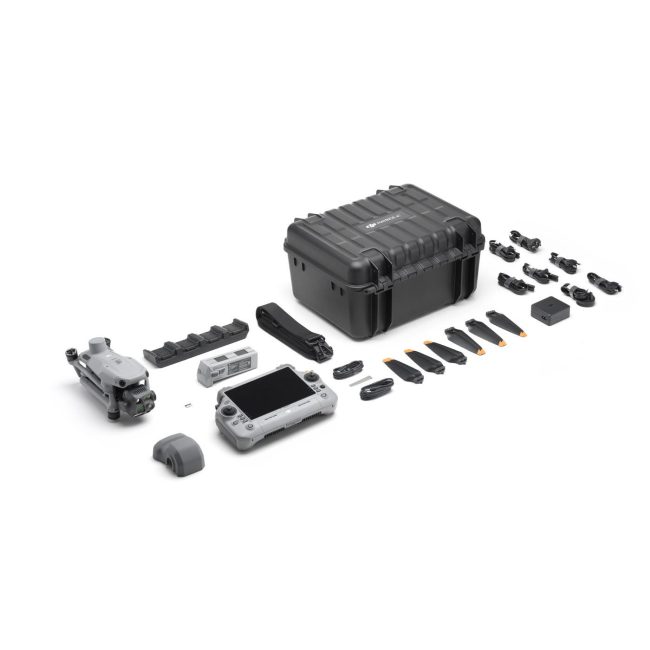
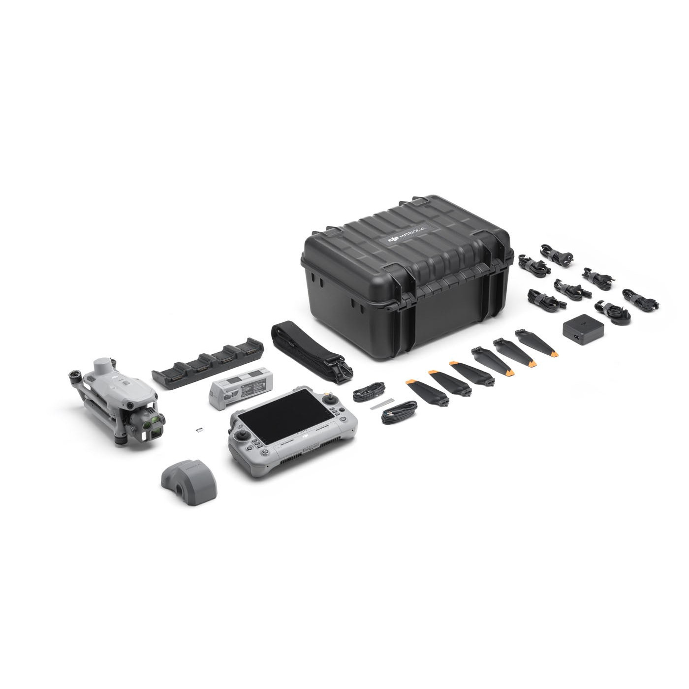
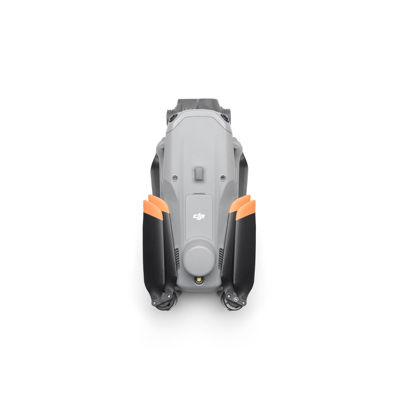
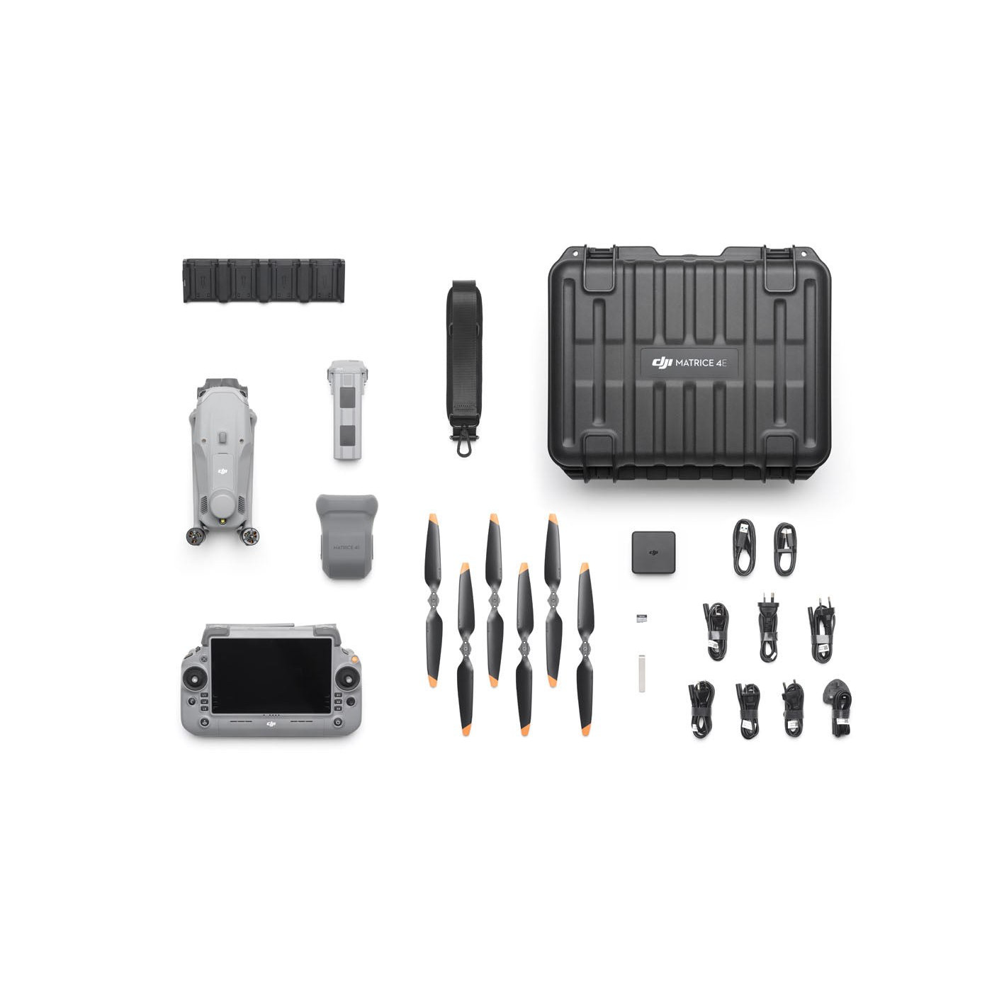
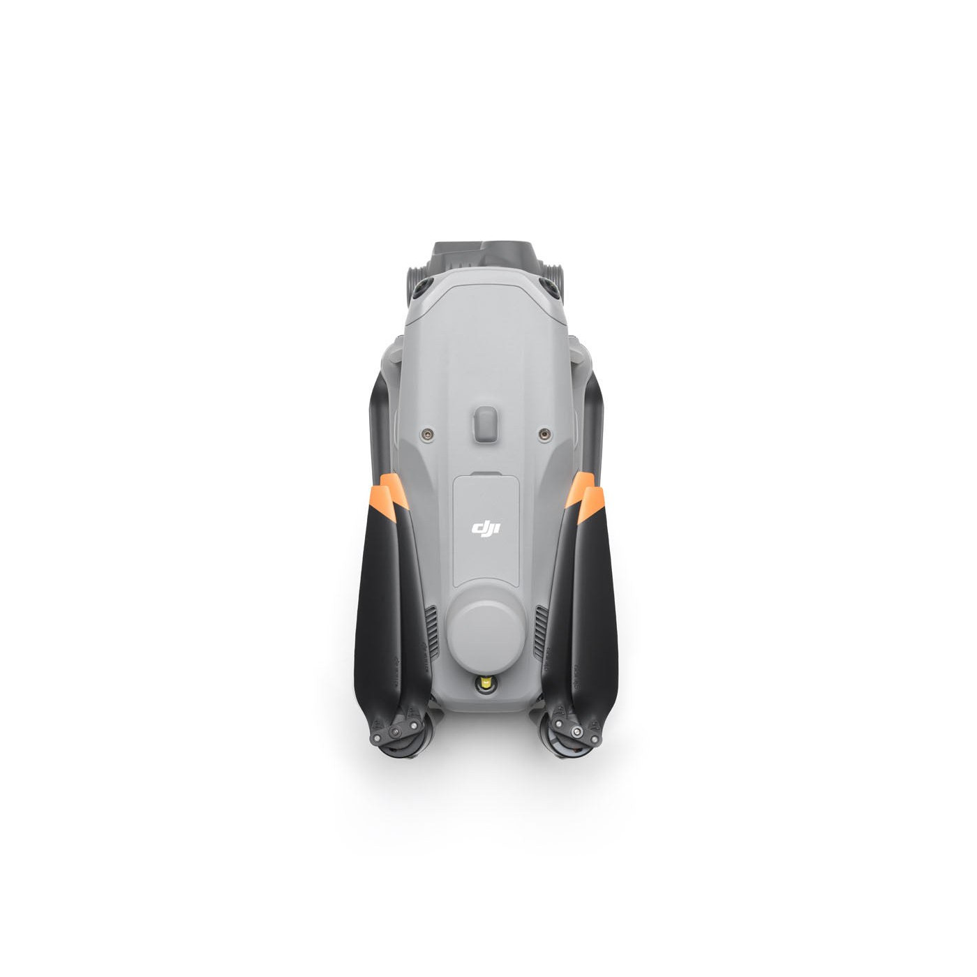
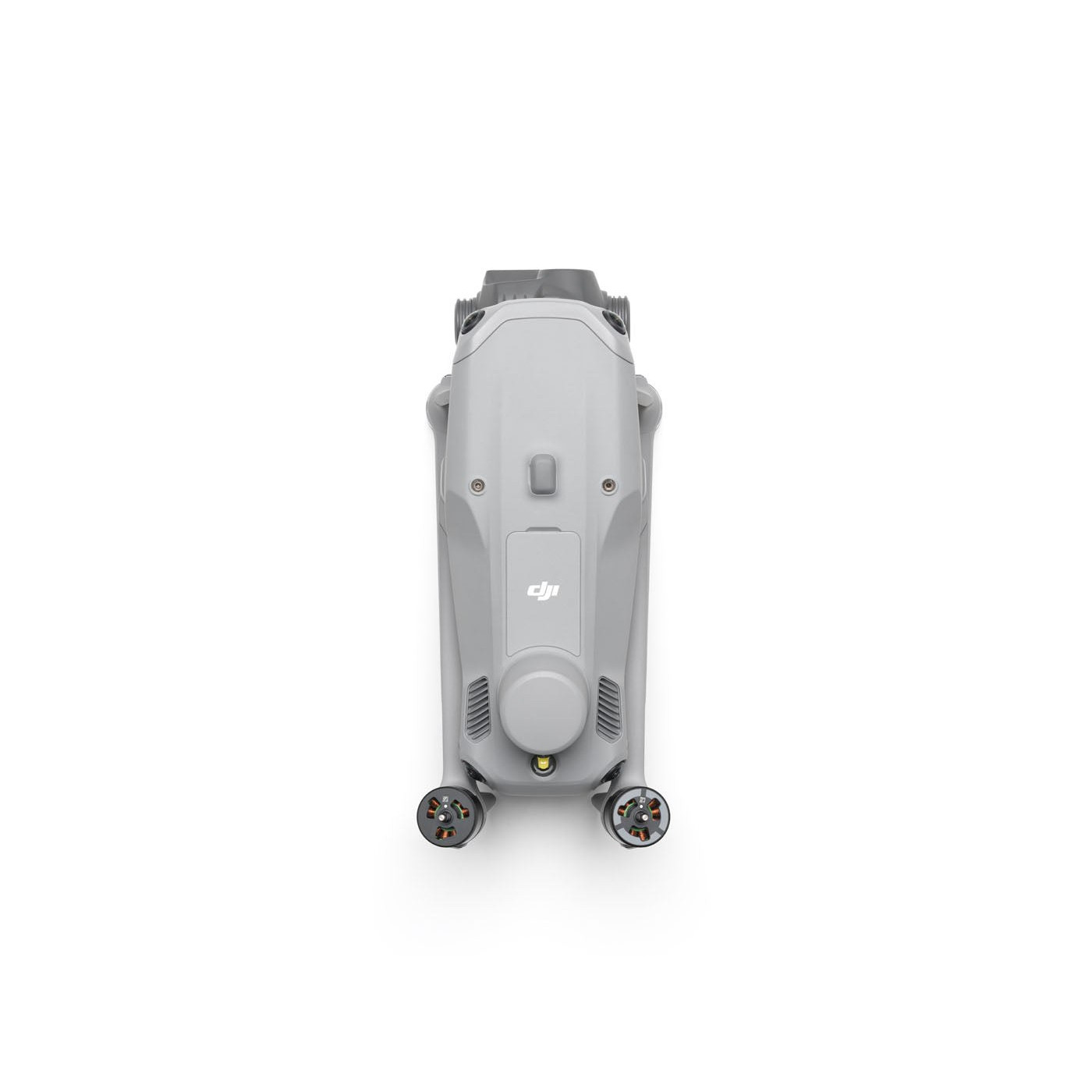
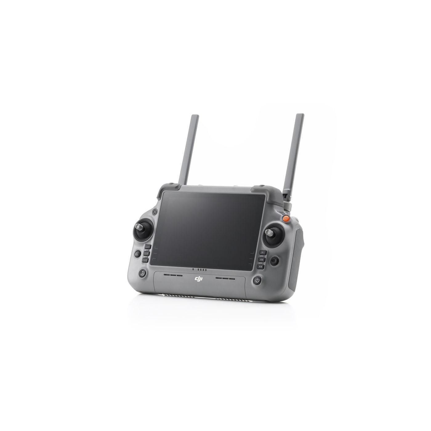
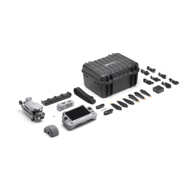
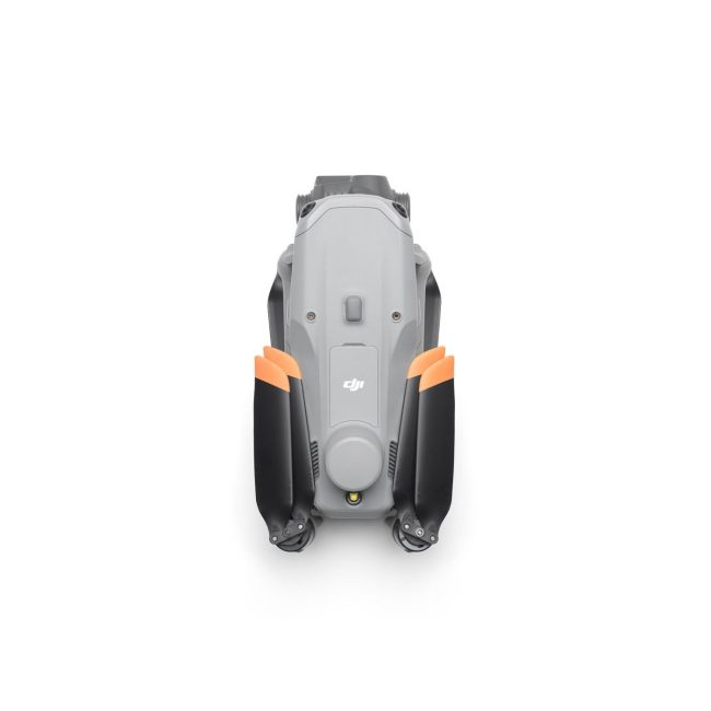
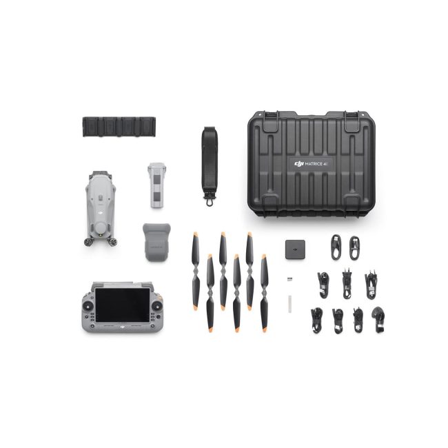
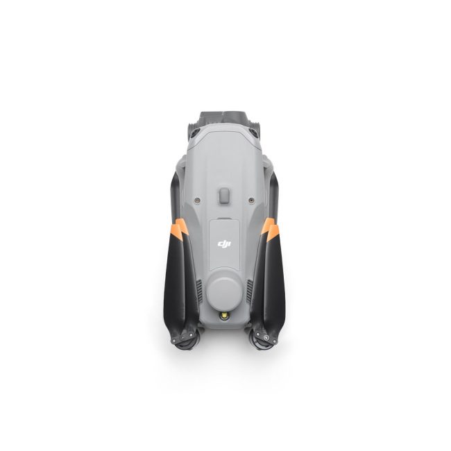
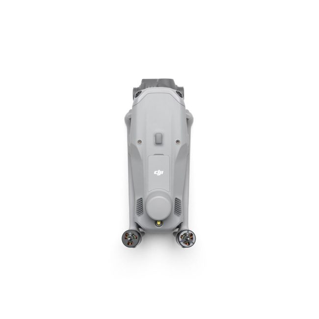
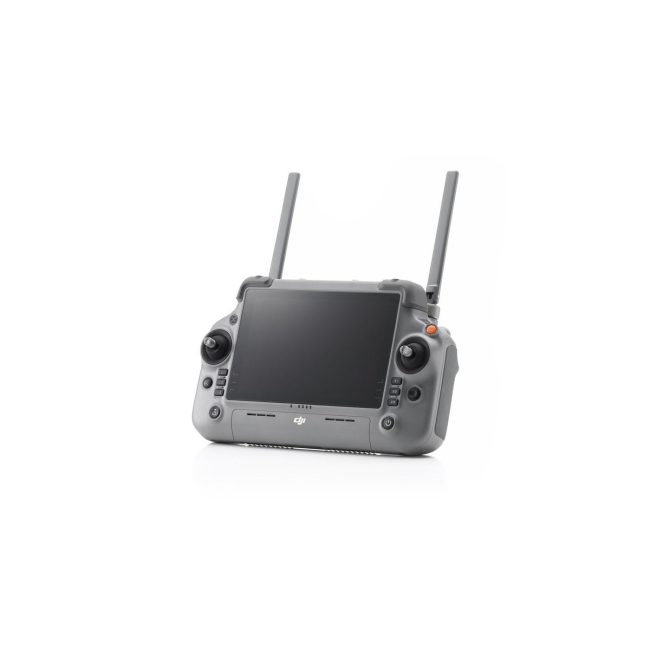
The DJI Matrice 4E is a flagship intelligent multi-sensor compact drone designed for enterprise geospatial applications including surveying, mapping, construction, and mining. It features a triple-camera system with wide-angle (4/3 CMOS, 20MP), medium tele (1/1.3″ CMOS, 48MP), and telephoto (1/1.5″ CMOS, 48MP) cameras, plus an integrated laser rangefinder for precise measurement up to 1800m. Built-in AI enables vehicle, vessel, and subject detection with tracking capabilities. The drone offers exceptional night vision with full-color capabilities and three enhanced noise reduction modes. It supports rapid 0.5-second interval shooting, multi-directional oblique capture, and can map up to 2.8 square kilometers in a single flight. Features DJI RTK with GNSS+Vision Fusion Positioning, 49-minute maximum flight time, up to 47 mph horizontal speed, and the O4 Enterprise video transmission system with 25km range. Includes integrated DJI RC Plus 2 Enterprise controller with terrain elevation maps and automatic obstacle avoidance.
- AI-powered vehicle, vessel, and subject detection
- Laser range finder for real-time precise measurement
- Rapid 0.5-second interval shooting for aerial surveying
- 5-directional oblique capture capability
- 3-directional ortho capture for mapping
- High-res grid photo support
- Powerful tracking capabilities
- Pin point, line drawing, and area calculation tools
- Observation range recording in DJI Pilot 2
- Cruise control mode for long-distance flights
- Full-color night vision with three modes
- Enhanced noise reduction in night mode
- IR Cut Filter and NIR auxiliary light
- Electronic dehazing with three modes (Low, Medium, High)
- Foreground stabilization for telephoto imagery at 10x zoom and higher
- GNSS+Vision Fusion Positioning and Navigation System
- Integrated DJI RTK module with L5 frequency band support
- Return-to-home update through visual positioning
- 5-directional vision assist view system with downward vision
- O4 Enterprise video transmission system
- Terrain elevation map loading and detailed map preloading
- Automatic path planning for obstacle avoidance
- Download bandwidth of 20MB/s
- Mapping flight speed up to 21 meters per second
- Single flight coverage up to 2.8 square kilometers
Specifications
| Performance | |
| Laser Range Finder | Measurement Range: 1800 m (1 Hz); Oblique Incidence Range (1:5 Oblique Distance): 600 m (1 Hz) Blind Zone: 1 m; Range Accuracy (m): ± (0.2 + 0.0015 × D) |
| Hovering Accuracy | Vision Positioning ±0.3' / 0.1 m, RTK ±0.3' / 0.1 m, GNSS ±1.6' / 0.5 m |
| Transmission Range | Up to 15.5 miles (25 km) |
| Other | |
| Wide-Angle Camera | 4/3 CMOS, 20MP Effective Pixels, f/2.8-f/11, Format Equivalent: 24 mm, Mechanical Shutter |
| Medium Tele Camera | 1/1.3″ CMOS, 48MP Effective Pixels, f/2.8, Format Equivalent: 70 mm |
| Tele Camera | 1/1.5″ CMOS, 48MP Effective Pixels, f/2.8, Format Equivalent: 168 mm |
| Maximum Flight Time | 49 min |
| Maximum Horizontal Speed | 47 mph (75.6 km/h) |
| Operating Temperature | -10℃ to 40℃ |
| GNSS | GPS + Galileo + BeiDou + GLONASS |